
An off-road journey from Zagora to Merzouga, incorporating the ruined ksour known as The Lost City of Ba Hallou, across the Moroccan Sahara.
You can download the GPX files for this route here and read a full write up of my own trip scouting this route here.
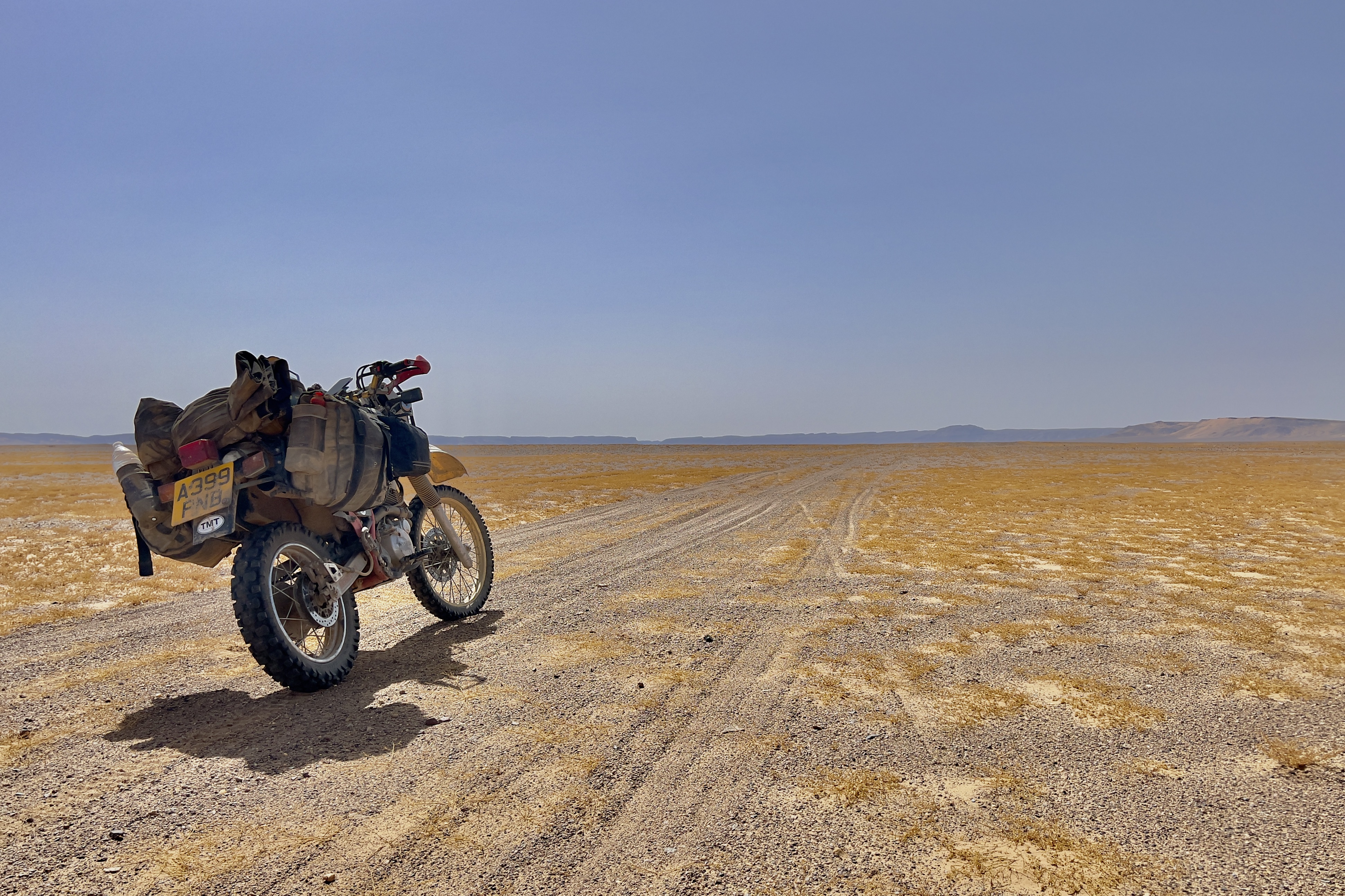
Beginning in Zagora, where stocking up on fuel, water, and supplies is essential, the route soon turns east off the N21 tarmac after about 30km, transitioning onto winding, sandy farm tracks leading into the rocky wilderness with Jbel Bani mountains visible. The next 50km involves navigating varied terrain, including dried-up river-bed crossings and patches of deeper sand, while passing succession of small towns with limited amenities. Around the 230km mark, the town of Fezzou, located on the southern edge of the route, offers a potential overnight stop and the final easy access to services before the remote section leading to Camp El Mharech.
Leaving Fezzou, a long, straight, undulating piste runs east for about 20km across solid ground with light sand patches. This piste leads to the entry of a large dried-up lake bed, which offers a fast-running section. The route then turns sharply south at 120km, maintaining a high-speed track across the dry lake bed towards a gorge. The final kilometre before the oasis involves deep, sandy oued (riverbed) tracks.
Camp El Mharech, located in the gorge at 126km, is the last point of contact. The route exits the gorge, threading across sandy tracks for the next few kilometres. A second dry lake bed is encountered at 130km, but this quickly gives way to a series of small dunes and some slippery sand, potentially including feche feche, demanding sustained momentum.
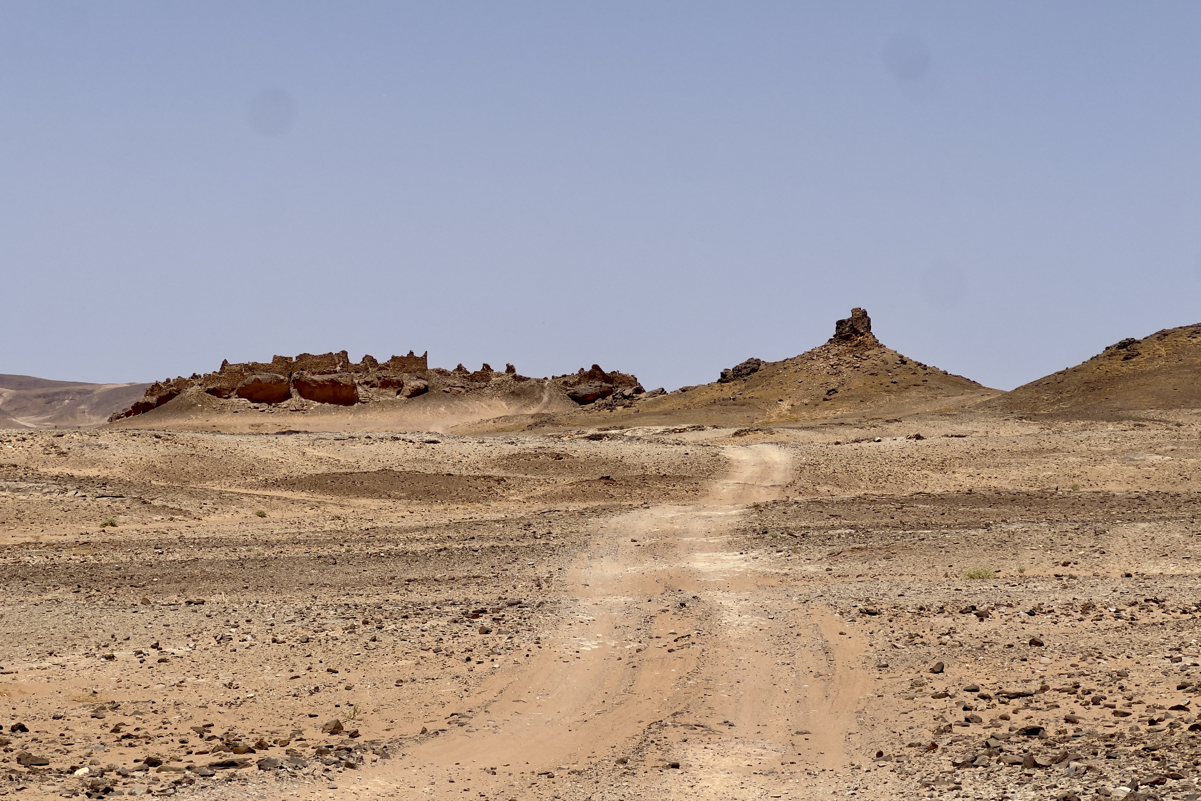
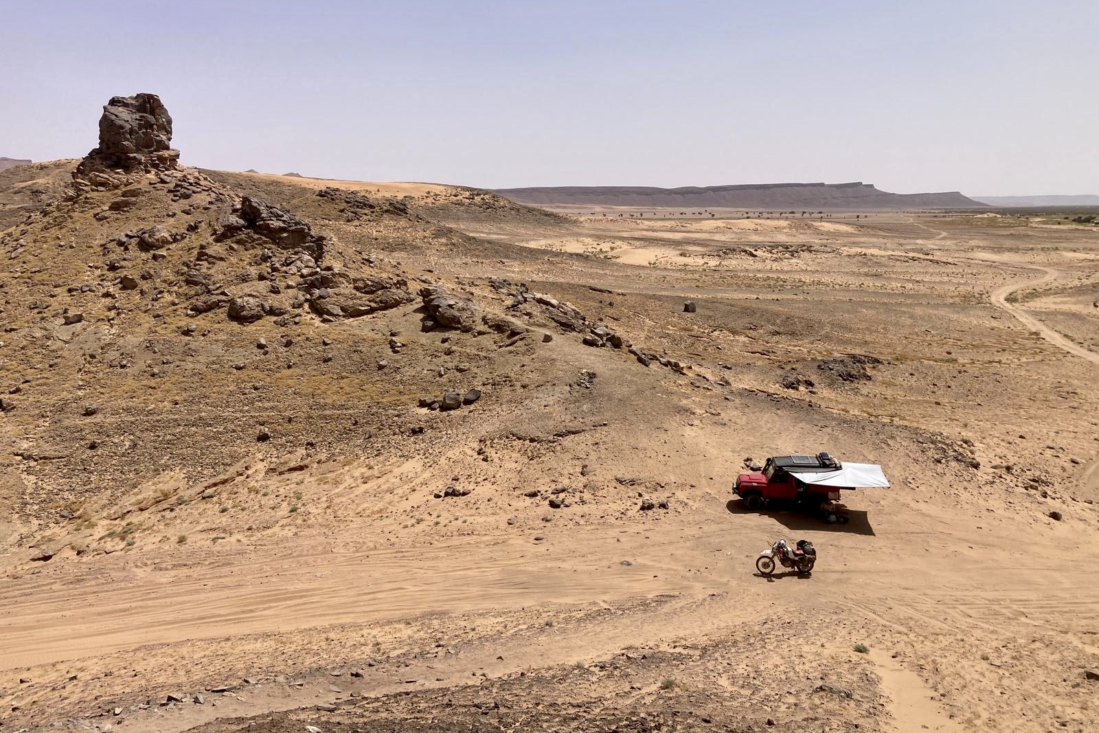
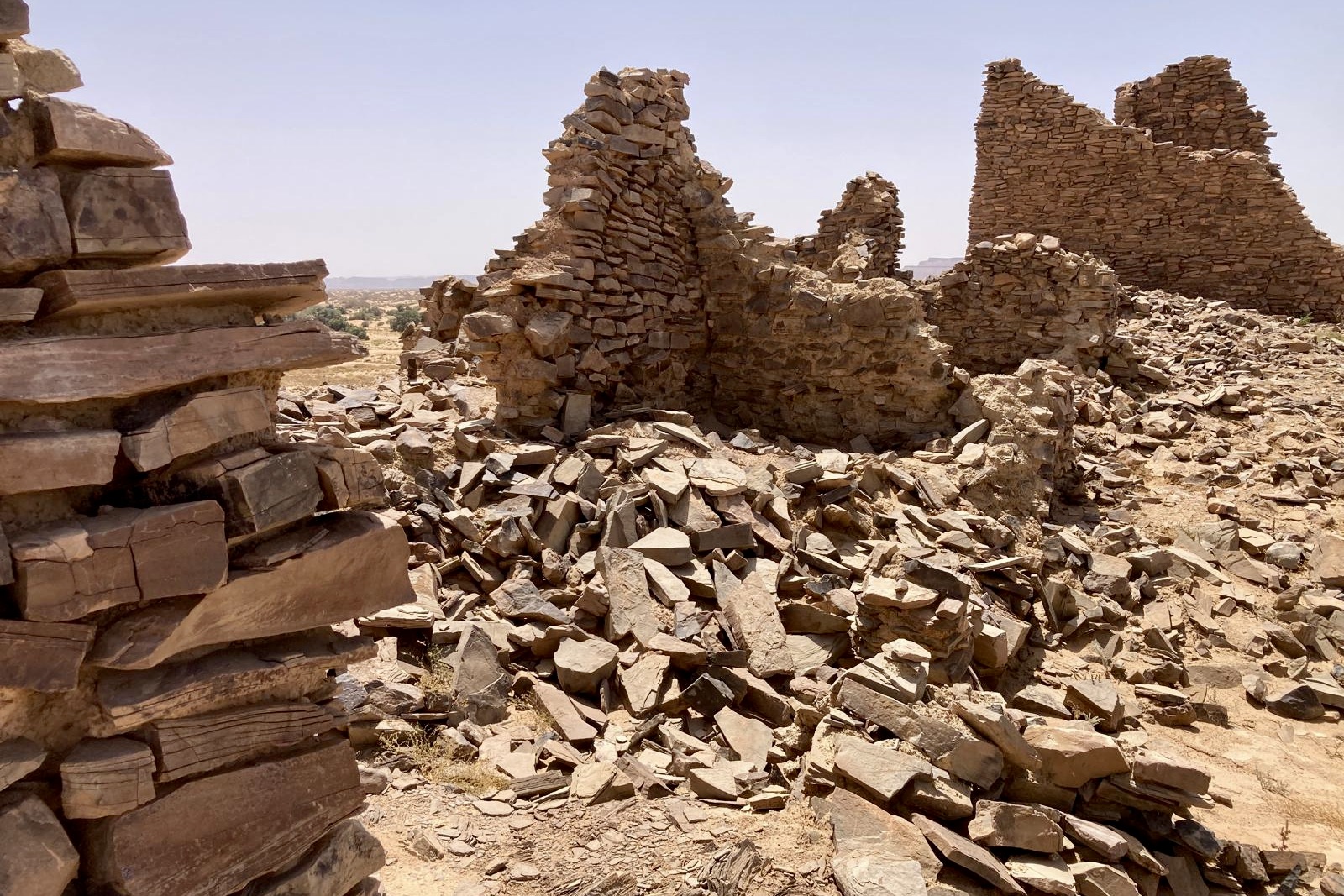
Emerging from the mini-dunes, the track joins a more travelled north-south piste. Just 5km later, at approximately 150km, lies the ruins of the Lost City of Ba Hallou. Sand continues after Ba Hallou, including the difficult crossing of the notorious dried-up Oued Rheris riverbed.
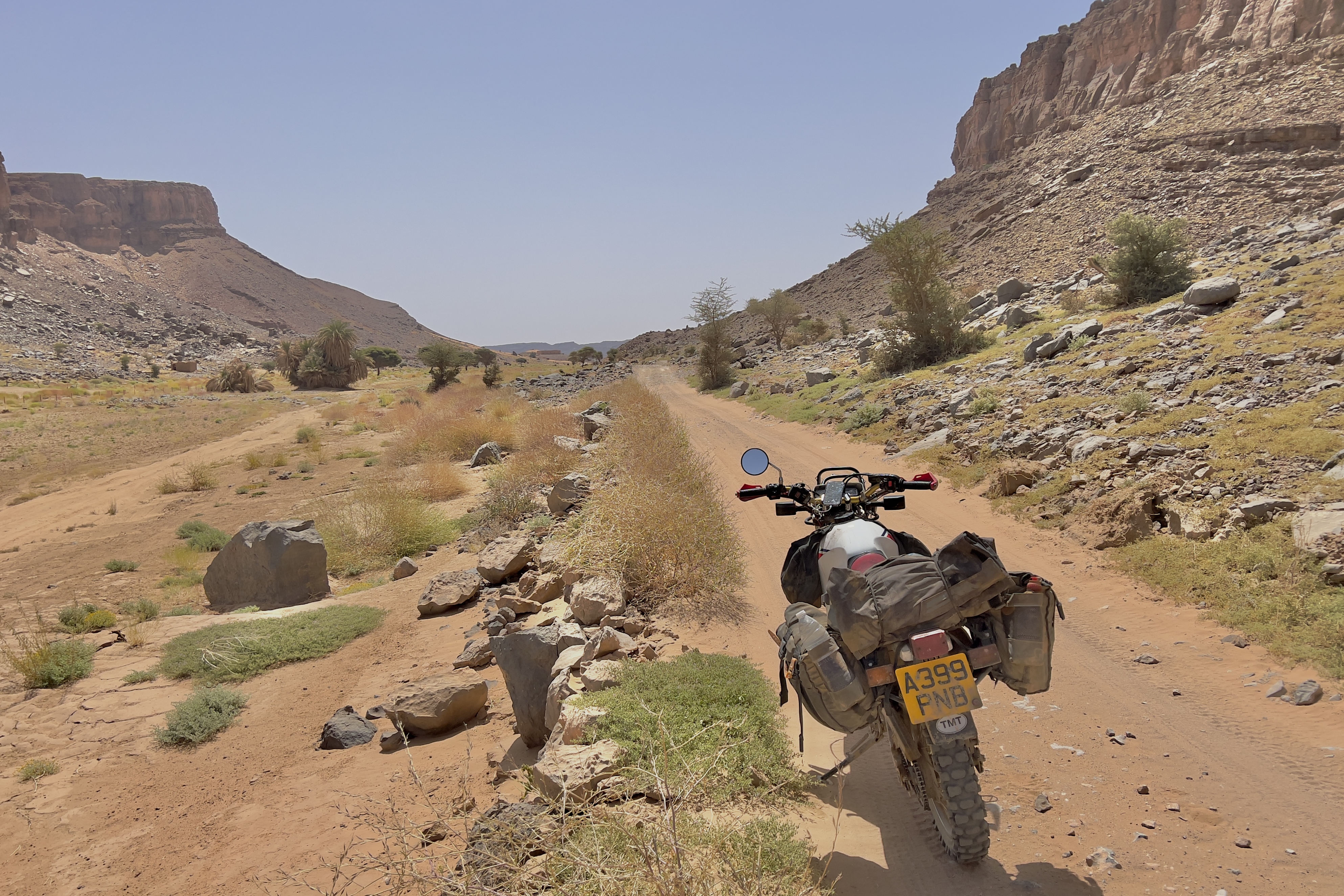
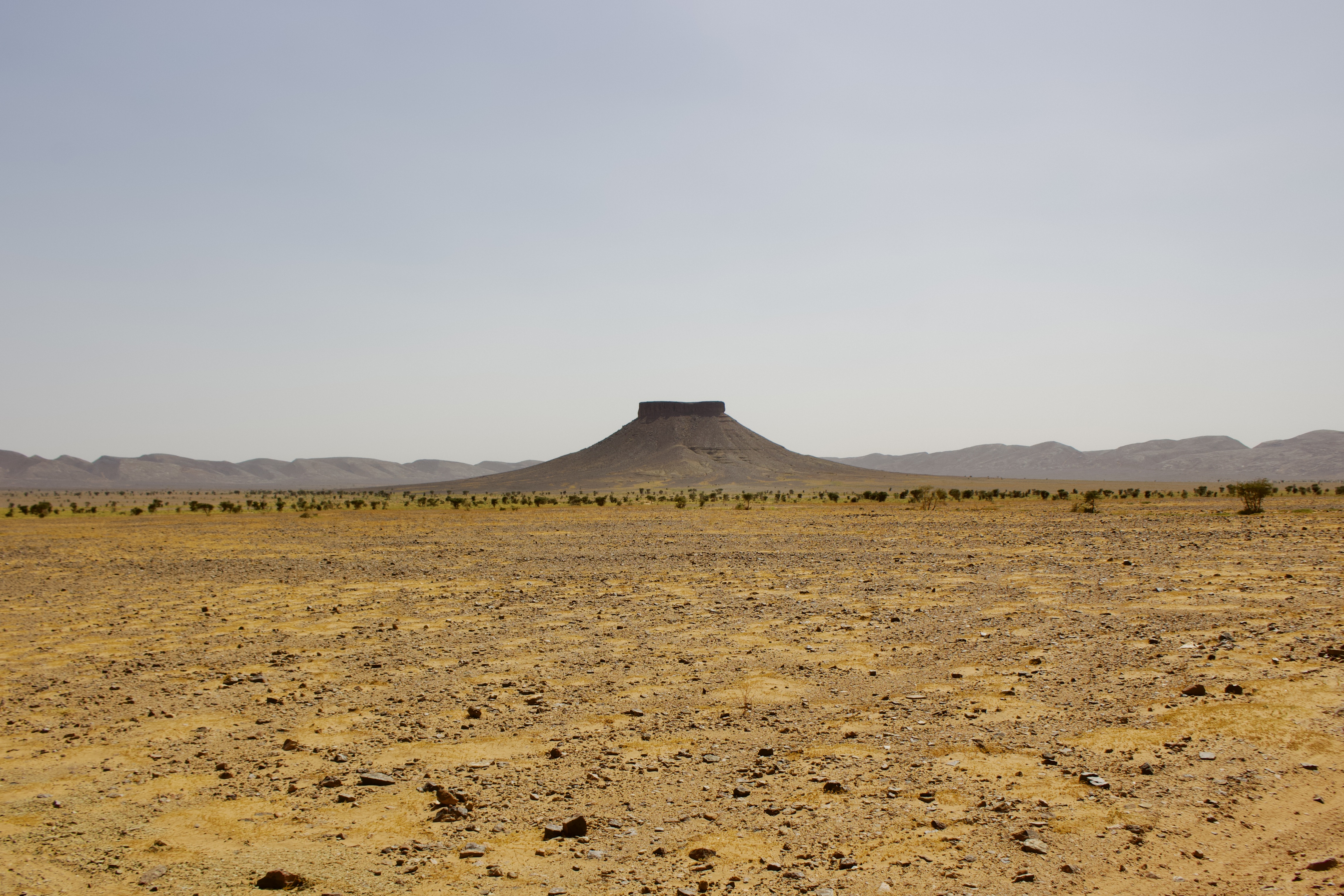
Beyond the Oued Rheris, the terrain gradually becomes easier, winding across flat scrubland of light sand and basalt rock, punctuated by distinctive vertical mesa-like rock formations. The first signs of mobile phone coverage return around 190km, and the challenging off-road section finally ends between 200-210km upon arrival at the main paved road leading north to Merzouga.
Autonomous travel is essential, requiring sufficient water, fuel, food, and spare parts, as the central 100+ km lacks mobile signal. Reliable GPS is critical for navigation. I would recommend being prepared for substantial sections of sand, requiring experience, a suitable bike and low tyre pressures.
