You can download the GPX of this route here or find it on WikiLoc here.
Prologue: October 2023
In the last month, the bike had been battered left, right and centre. I’d overcome roadside electrical faults in the dark, hogged-out wheel hubs in ancient Saharan trading towns and destroyed rear tyres in the middle of nowhere, not to mention dodged cross-border smugglers in wild-west towns on the Libyan border, endured endless onerous police checkpoints and the ever present risk of being put under armed escort, all to reach my destination – the much vaunted hermitage at Assekrem in the depths of Algeria’s Saharan Ahaggar Mountains.
Few non-Algerians, if any, had managed to do that successfully in recent years, unguided and unassisted. Now I was almost done, almost back to Spain safely. My head was down, headed for the port at Mostaganem on the Med coast, silently praying that some last minute mishap wouldn’t get in my way. I bore down the main road, crossing the Hautes Plaines, the flat expanse that marked the boundary between Algeria’s fertile Tell Atlas in the north and its barren, desolate Saharan south.
From the road at least, it just seemed to be dull, flat, with nothing of note at all.
Just over a year later, I would come to realise just how wrong I was.
The Hautes Plaines : February 2025

In February 2025 I returned to Algeria. It was a little over a year after I had spent two months roaming desert pistes, deep in its Saharan south.
My plan had been to return to the Ougarta Mountains, 900km away from the coast near Beni Abbas, to explore a series of routes. However, my crossing was delayed from Spain, giving me just ten, rather than my planned fifteen, days in the country. It would take me five or six days just to ride to and from Beni Abbas, leaving me with just four days there. So I decided to change my plans.
As I spread out my Michelin map, The Haute Plaines, or the High Plains, caught my eye. Sandwiched at around 1000m between the Tell Atlas to the north and the Saharan Atlas to the south, the blank space on the map intrigued me.
What was there? Who was there? If I went there, what would I find? How would it compare to the Saharan south?
I had returned to Algeria because I wanted to learn more about this fascinating country. For all of the apparent blandness of the Haute Plaines, it occupied a huge swath of its northern geography. And for all the romance of the Sahara desert that surrounded Beni Abbas, I had already been there the year before. Why not try somewhere new?
All of that was enough reason to find out more.
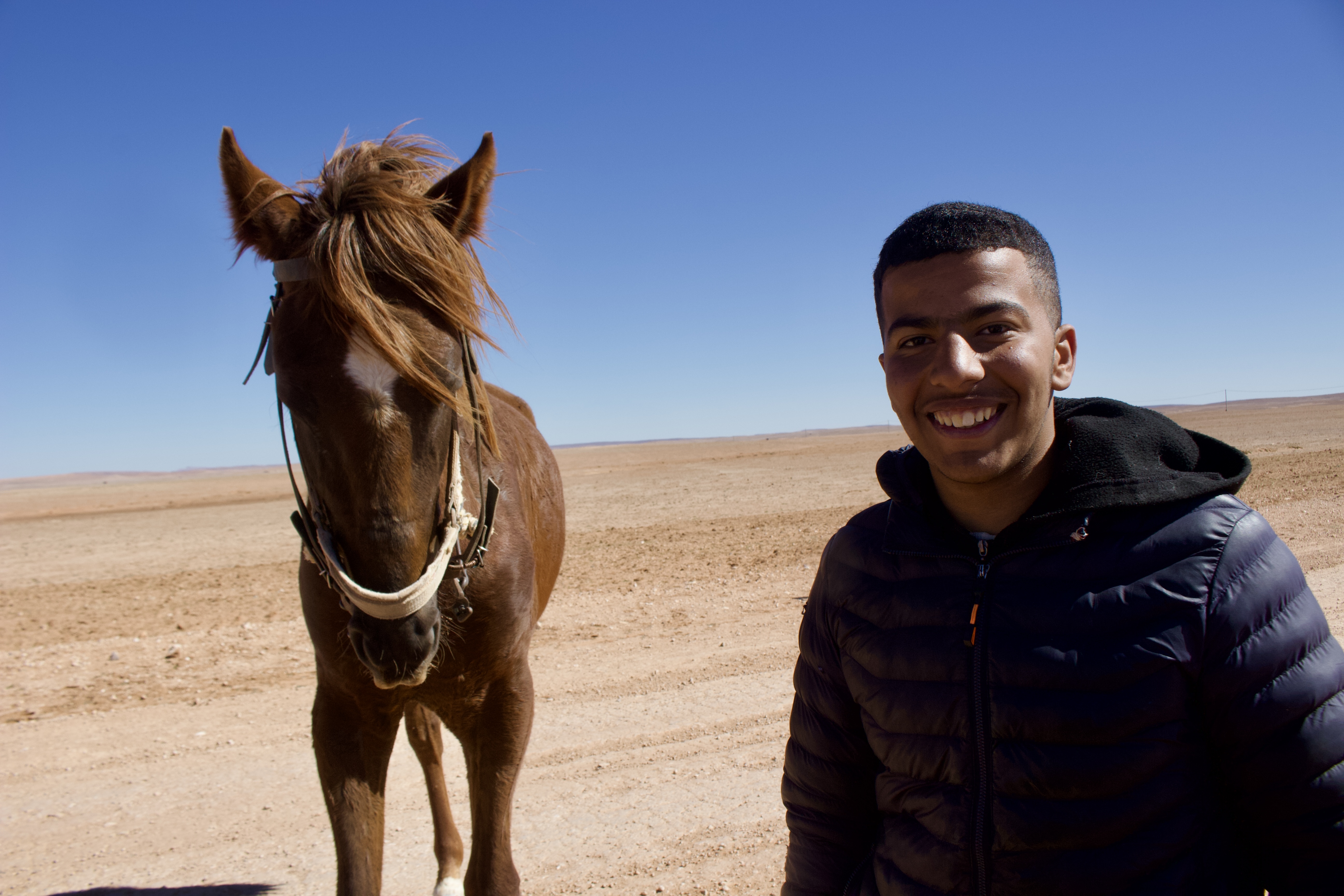
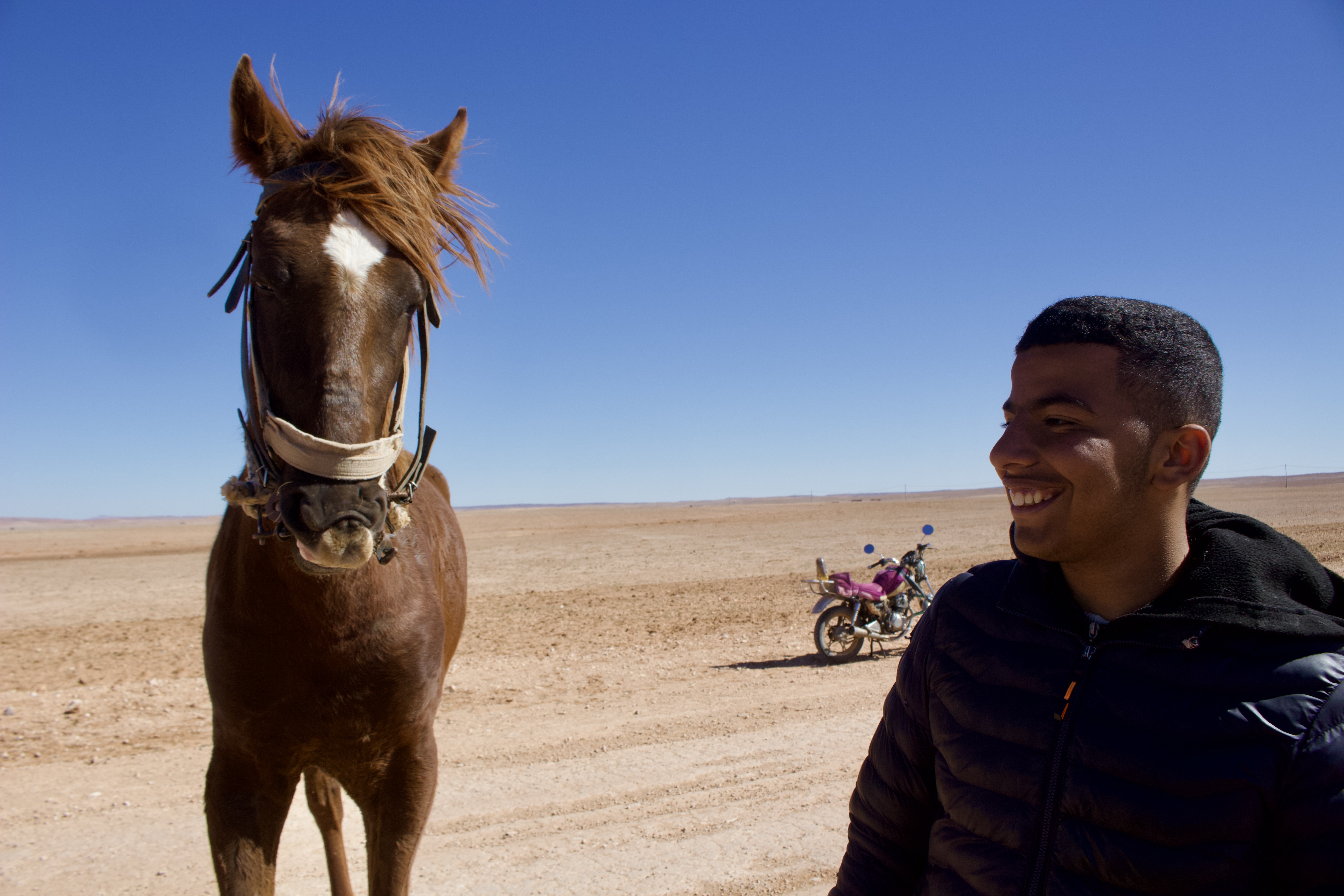
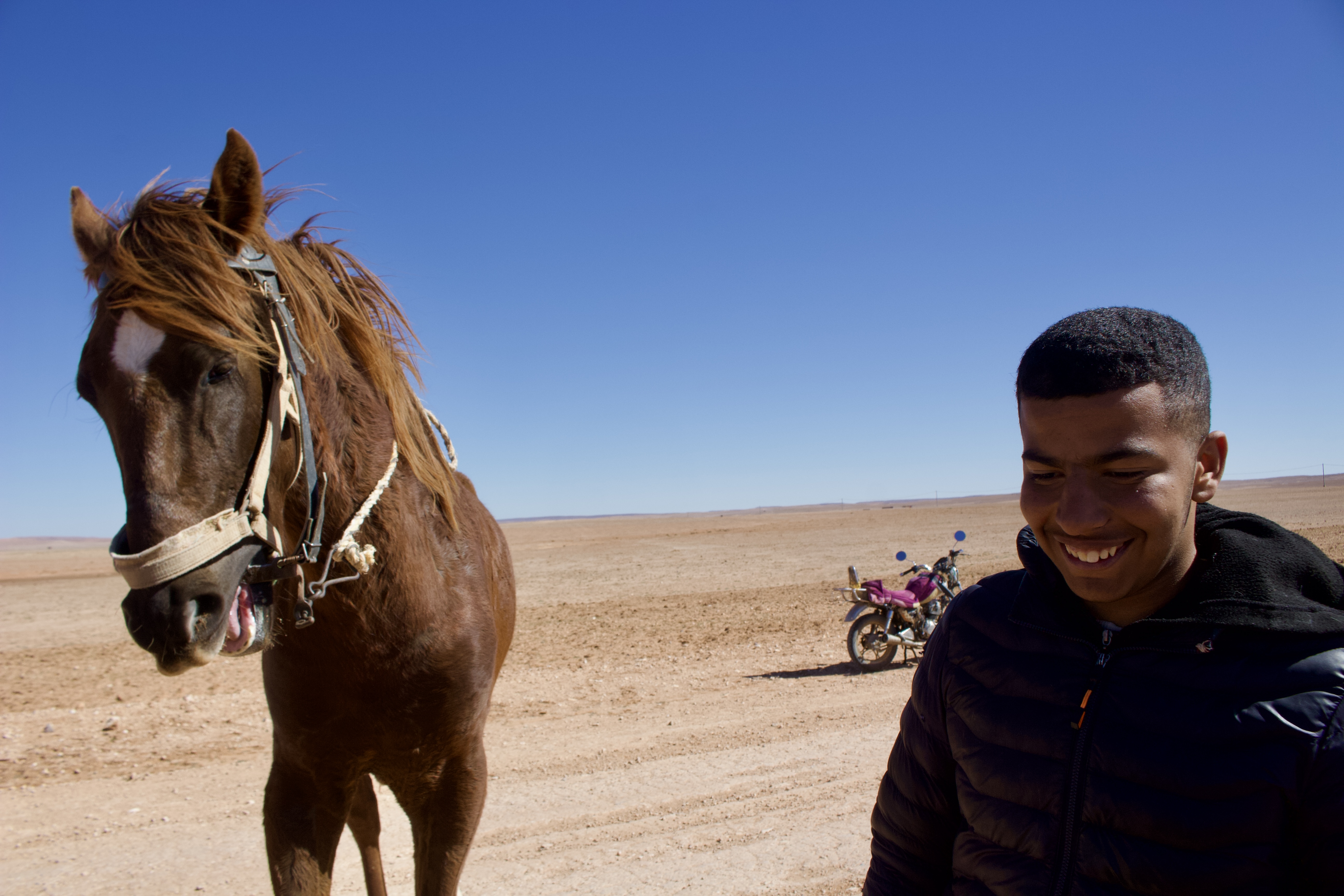
I spent the next seven days and 900km scouting and riding a route that zig-zagged across the eastern two-thirds of the Haute Plaines, capturing the surprising diversity that the region has to offer. From lunar-like landscapes teeming with farmers, crops and livestock, to dried-up lakes and salt flats, and from desert gorges to rolling hills that felt right out of southern Europe, my route offered a different side to Algeria to the towering peaks of the Ahaggar or the weird and wonderful rock shapes of T’Assili.
A summary of the route
Bordj El May is a small, dusty town, lying on the boundary of Algeria’s Saida and El Bayadh provinces (or wilayas). There isn’t much to see here, other than a pretty but simple central square with a mosque and an Algerie Poste station with a faded Algerian flag flying from a pole outside. It marks the end of the tarmac all the way from the Mediterranean coast a few hours away and, more specifically, Saida, the last city that’s about an hour to the north.

The ride from the coast this far is a pleasant one, weaving its way up and over the Tell Atlas and through some of Algeria’s most fertile regions, where farmers plough and plant crops in a rich brown soil or graze their sheep, cattle and goats on beige rolling hills peppered with bushes and cyan-coloured shrines. It’s a side to Algeria that you don’t often hear or see about, because the focus is all too often on the huge sand dunes of the Grand Ergs or the jagged peaks of the Ahaggar Mountains.

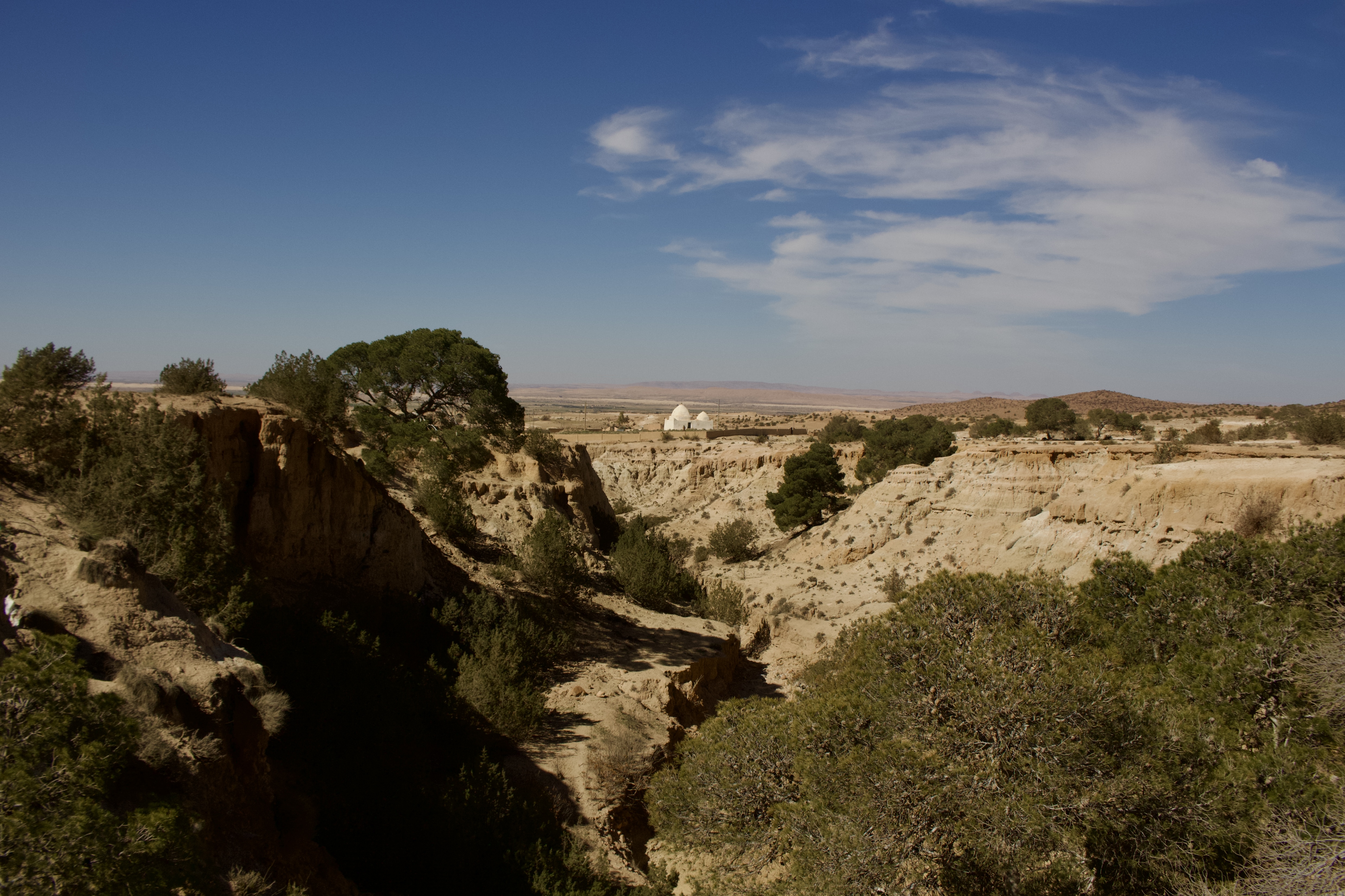
Bordj El May marks the start of the route I’ve named here as the Haute Plaines Traverse. For the first part of it, as far as the next town you meet, called Ain Sakhouna, you’d be forgiven for thinking that you are in the Sahara-proper, due the remote, flat landscape around Chott Ech Chergui, the seasonal lake that lies to the south, the small sand dunes that frequently encroach on the piste and the lunar-like feel, with escarpments offering grand views all around.
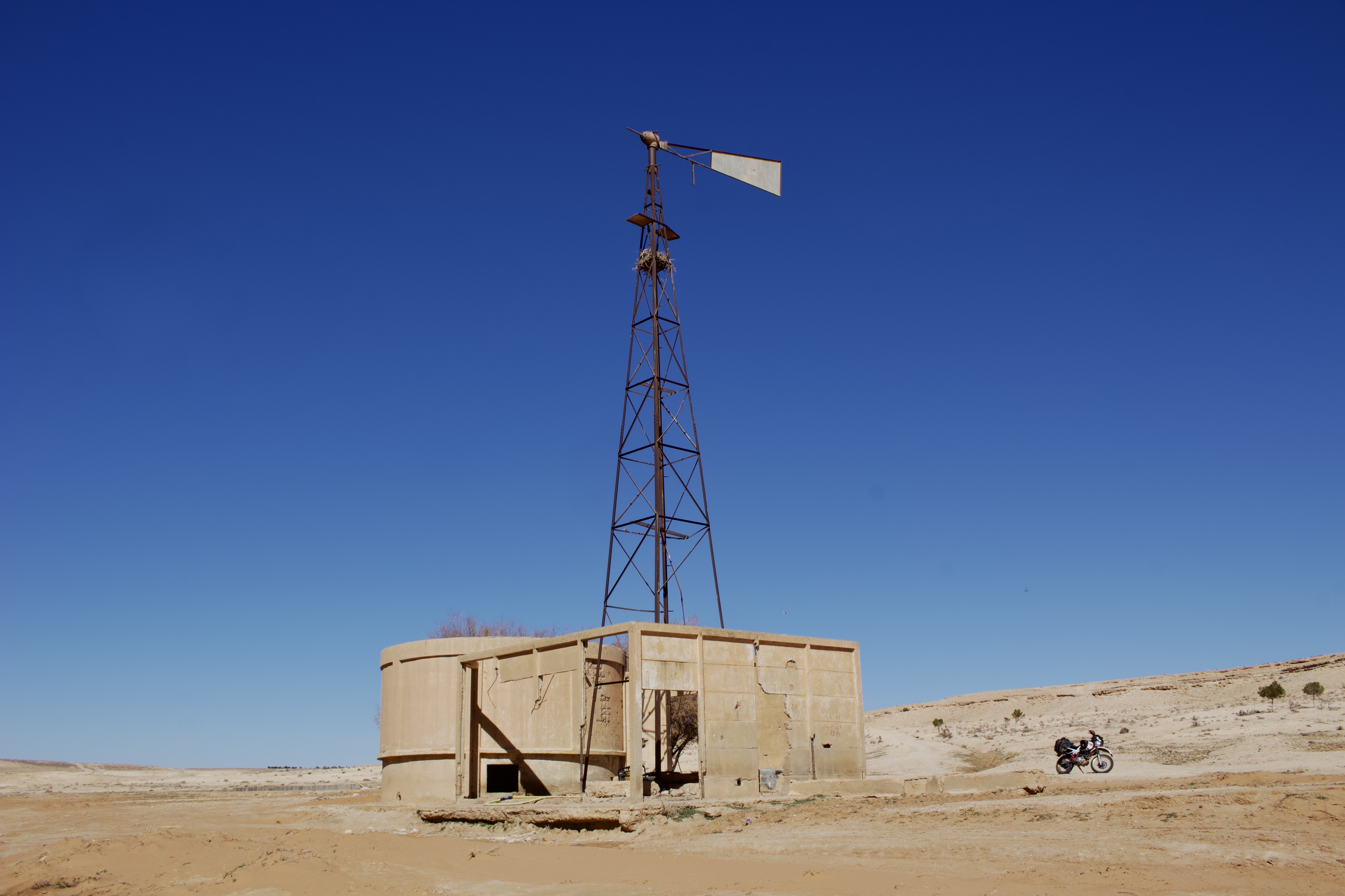
After some clever navigating to find your way across a dried-up section of the Chott (as of February 2025) just after Ain Sakhouna, the landscape becomes increasingly varied before and after Aflou, with rolling hills, gorges and winding tracks that link villages and small towns together, peppered with smallholdings, ruined buildings and roaming shepherds.

As you get closer to Djelfa, the feel of the route becomes increasingly Mediterranean through the Ouled Nail Mountains, pleasantly winding its way through hills wooded with pine trees. This continues after Djelfa as you work your way along the ridge of the mountains with grand views of Chott Zehrez Chergui and the plateau to the north.

Eventually you’ll descend back down to the Chott below, via the bustling market town of Mediedel. The eastern part of the lake is dried up and the route crosses its salt flats, before its final section eventually threads its way through the Sahara-like hills to the north-east of Hassi Bahbah and across farm tracks to its finish point at Guernini.
A few practical notes…

You can download the GPX of this route here or find it on WikiLoc here.
The 890km route largely follows well-used farm tracks. About 80% of it is off tarmac. It should be easily doable by competent or moderately skilled off-road motorbike riders or 4×4 drivers. 2WD vehicles could do most of this route but may find the sandier or mountain sections a little tricky.

The GPX file uses an edited version of my tracks, and so does include some errors/u-turns which I’ve been unable to edit out. These are evident when reviewing – it’s worth looking at the route ahead of time to ID these areas so you know when to avoid them.
Even though the Haute Plaines are (surprisingly) full of life, you should exercise the usual precautions of ensuring you have enough food, water and shelter in case of an emergency.

