
JANUARY 2025 SECURITY UPDATE: In early 2025, a Spanish tourist was kidnapped in the Assekrem area with the intention of being handed over to the Islamic State in Mali. This was the first such kidnapping in several years. Other readers of this article have also reported suspected armed bandits in that area. Anyone considering the routes in the far south in this article should exercise extreme caution and consider whether riding them is appropriate at this time.
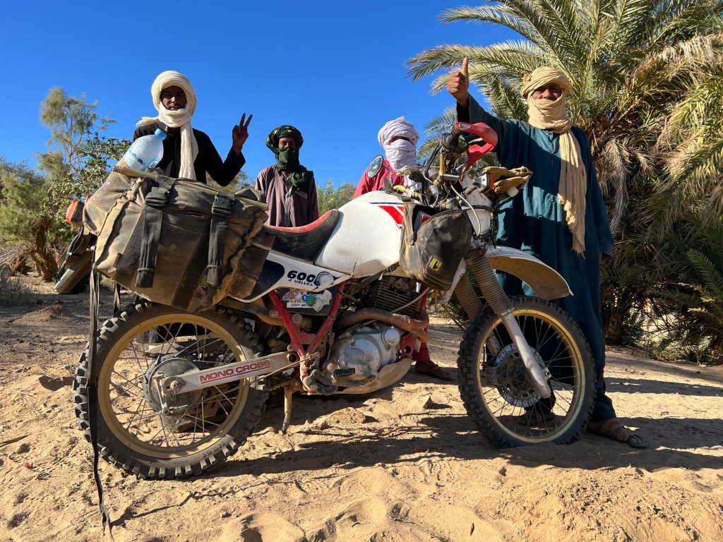
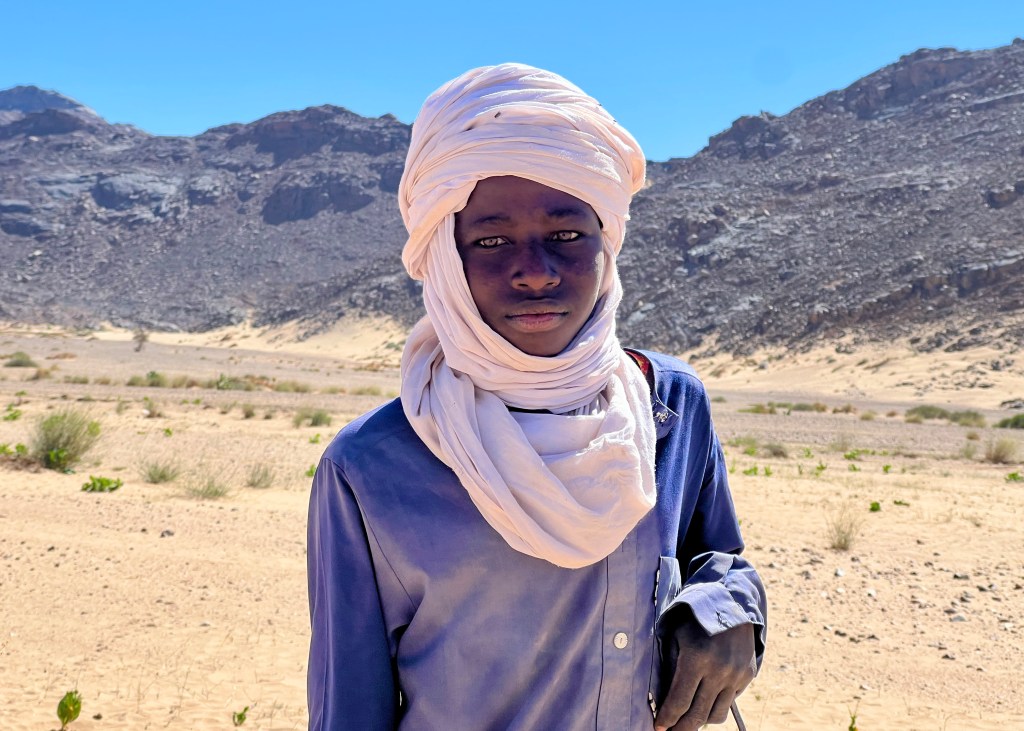
In autumn 2023, I spent two months in Algeria, exploring off-road routes by motorbike in the country’s south unguided and unescorted, venturing deep into the central Saharan desert.
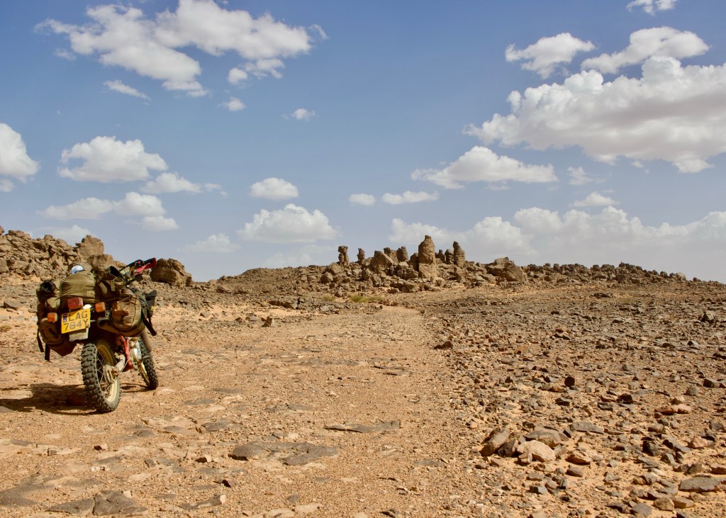
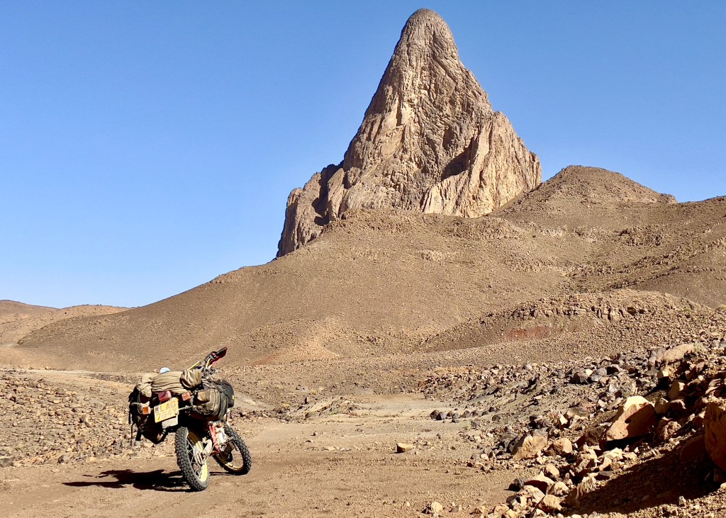
On my first trip, from mid-September until mid-October, I worked my way down the east of the country via Illizi and Tassili N’Ajjer National Park before riding across the famed southern route from Djanet to Tamanrasset, heading back north via a loop of the refuge at Assekrem.
On my second trip, from late October until late November, I returned to the country’s Saharan far south once again, to explore other routes on the way to, in and around the Ahaggar Mountains.
My aim of these trips was simple – to chuck myself in at the deep-end of desert riding in the Algerian Sahara, and to explore routes that got me away from the encroaching tarmac that reduces the opportunities for that. This guide summarises the best of those routes for those who are interested in undertaking a similar trip of their own.
A word on safety and practicalities. It’s probably evident that most of these routes will take you to remote locations that require a high degree of self-reliance in terms of riding, logistical (water, food, petrol) and mechanical capability. Solo desert riding will always carry significant risks, but perhaps even more so in Algeria today.
You should follow these routes only at your own risk and be comfortable with your ability to adapt to changing and possibly difficult circumstances before endeavouring to undertake them.
With the collapse in independent tourism in Algeria over the last thirty years, riding, particularly in the south, is not like that in Morocco, where you can frequently expect to bump into other tourists to help you. The attitude of the local authorities today also remains largely untested.
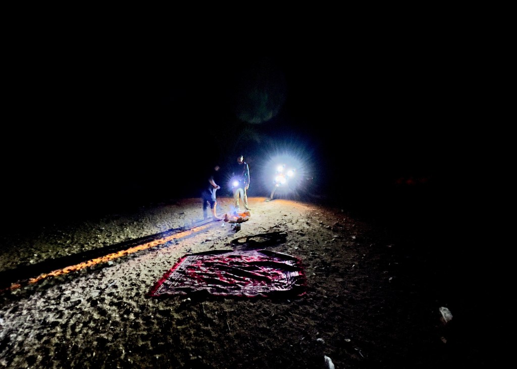
For my part, I managed that risk by being as self-reliant as possible; my default approach was to trust in self-reliance and pray for help, rather than to trust in help and pray for self-reliance. Whilst understanding that, I also ensured that I had a GPS SPOT3 emergency tracker and put in place protocols for checking in via that tracker back home.
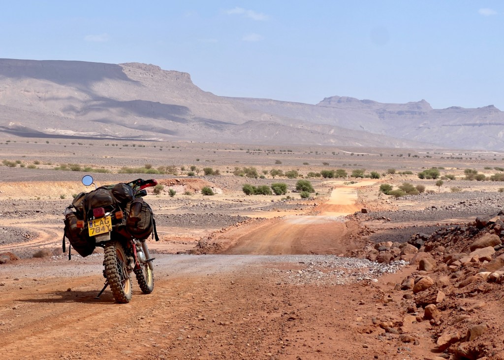
Accommodation availability and fuel supply is also often unreliable in southern Algeria; assuming that you can complete a route by eeking out the last few litres of petrol in expectation of there being an open petrol station at the end of it is a risky business. Google Maps is helpful in providing some information to a point, but you should build in a decent amount of contingency in your planning.
If you’re unsure about any of the above, then it’s worth getting your hands on a second hand copy of Sahara Overland, which is out of print but generally available at a cheap price on Amazon.
You can read more about the practicalities of getting to and travelling around southern Algeria independently by motorbike here.
These routes are organised very roughly in a north to south direction. For each one I have provided a difficulty rating out of five, as a rider of moderate abilities, with five being very difficult and one being easy.
Source material. I generally based these routes on one or more combinations of: Open Source Mapping, Google Maps and satellite imagery, Reise Know How paper maps for Algeria and Ahaggar and Chris Scott’s essential Sahara Overland book and website. Thanks also to Chris for the information he provided to me directly via email.
The routes
Note that this post was written in late 2023. Since then, the condition and therefore difficulty of the routes described is likely to have changed; you should be prepared for this and to turn back if necessary.
All GPX files for the following routes can be downloaded via Google Drive here.
Across Djebel Messaad | 69 km | ⅖
Rocky mountain tracks out of the Saharan Atlas on the way south.
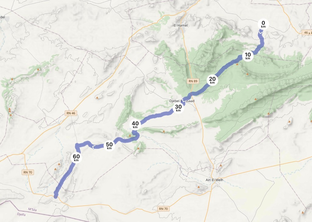
This route comes off of the black-top around 25 km south-east of Bou Saada, but properly starts in the small village of El Aleg, with its mud-baked buildings and old ksar.
There’s a slightly tricky rocky ascent into the hills to start with; once you’ve navigated that but before you turn the corner, be sure to look back for some impressive views back over the plain and tail end of the eastern part of the Haute Plateau. The rockiness will soon subside and the track will improve, and eventually there’s a spur off for a pleasant camp spot, complete with a well which you can use for (boiled) cooking water.


Thereafter, the track will take you through the scrubland until it eventually reaches a farm track across the spine of the mountains and Djebel Serdj, which feels more Mediterranean than anything else, before crossing the blacktop again when you meet Djebel Messaad village. Don’t expect there to be petrol here, but you can pick up water and snacks. Once out of the village, the route turns to a maintained piste for most of its remainder, with a stretch or two of tarmac mixed in, before finishing at the junction with the Slim to Ain El Melh main road.
Cross country to El Guerrara | 162 km | ⅖
A southbound fast and fun cut through the northern Sahara proper.

Don’t expect much in the way of scenery on this route until you reach the dunes by its side at the end; it’s more of a way of whetting your appetite for other pistes to come. Headed south coming out of the Saharan Atlas it’s an if not useful, then fun cut through to the pleasant town of El Guerrara, and Ghardaia beyond, or the road to the Tunisian border to the east.


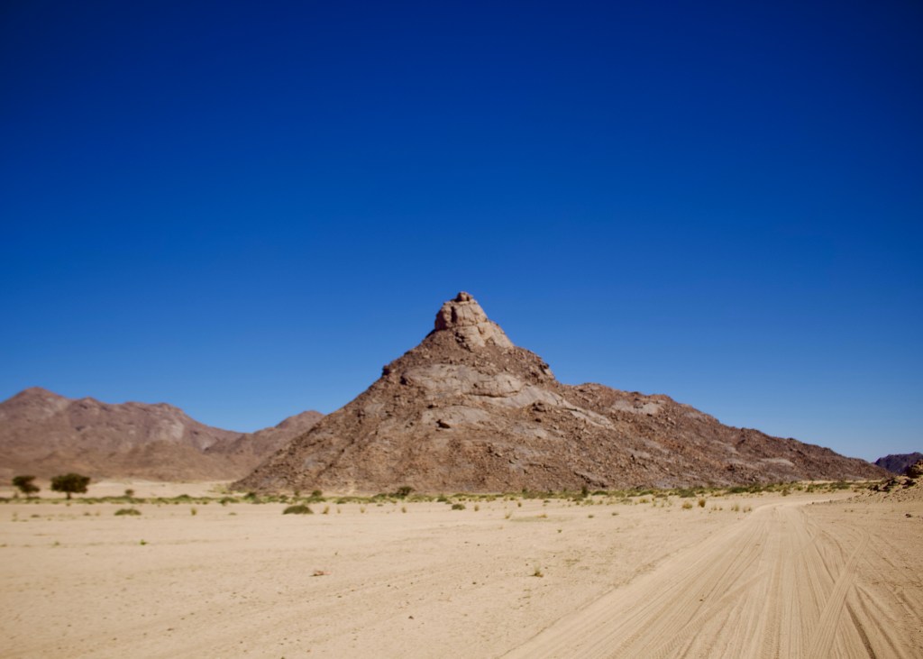
After starting at a plum campspot off of the main road, and popping into Hessi Delaa for water and supplies, the route leads you into a landscape that is impressively billiard table flat for most of the first part, with a few sandy patches, which is impressive in itself. You can just make out the huge Talemzane Crater about a third of the way through, though it is probably more impressive from the air due to its size.
After the crater, a whole range of options open up in terms of tracks to the south-east – there is no marked route either in real life or on maps. You’ll need to navigate your way through some sandy areas but this is classic “point your bike in the right direction, open the throttle and follow your nose” territory, which is great fun.
The old Trans-Saharan Highway (TSH) | 200km | ⅗
A classic route with a great mix of different ground and scenery.
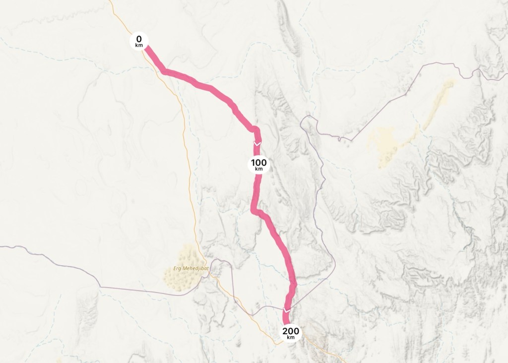
This is an absolute corker of a route, and a great way to break up the long schlep south down to Tamanrasset from In Salah.
Starting some 80 km south of In Salah off of the modern, paved TSH, the first part is a relatively straightforward forward piste with some mild corrugations but plenty of more recent tracks following parallel to the main, largely disused piste. After about 35 km it stops shadowing the modern TSH to the west and cuts away, deeper into the desert.
Another 20 km later at a signpost, the road divides, with the main piste heading north to Amguid and the “ancien RN1” heading southeast. For the first kilometres the main piste isn’t visible, but follow what tracks there are and eventually it will emerge.


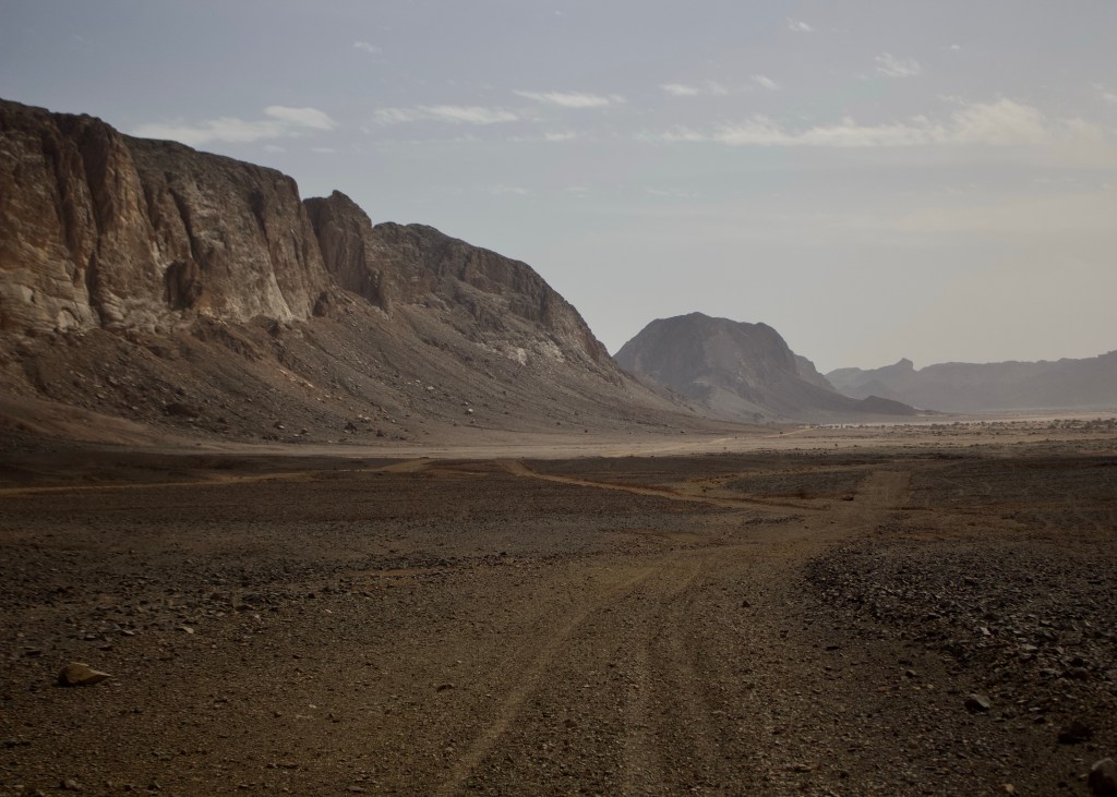
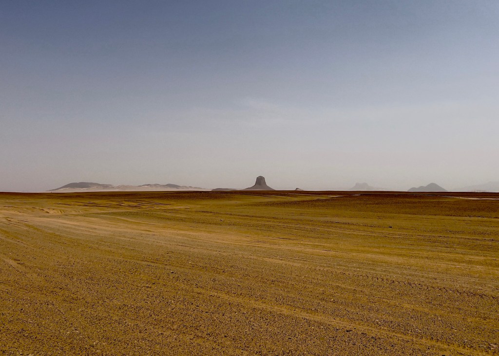
The scenery eventually dials up in a great way. The rest of the route is a mixture of ground set against the mountainous backdrop that eventually emerges as you close in on Arak, peppered with the odd old car wreck, winding its way through gullies, across dried up lakes and oueds and huge valleys bordered by mountains and cliffs. The main piste varies between being in good condition to being washed out and non-existent in many places. Figuring out which way to go is all part of the fun.
As you close in on the ruined French fort of Tadjemout, which is also an excellent picnic spot, the route becomes increasingly sandy for the last 20 or 30 km until you come out into the Arak Gorge, with the town some 8 km beyond.
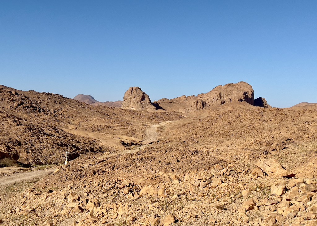
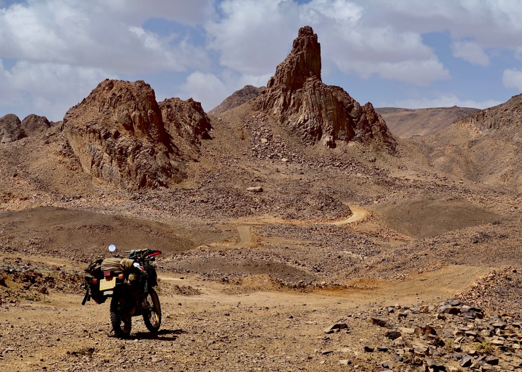
The Teffedest loop | 440 km | ⅘
One of the lesser known jewels of the Ahaggar crown.
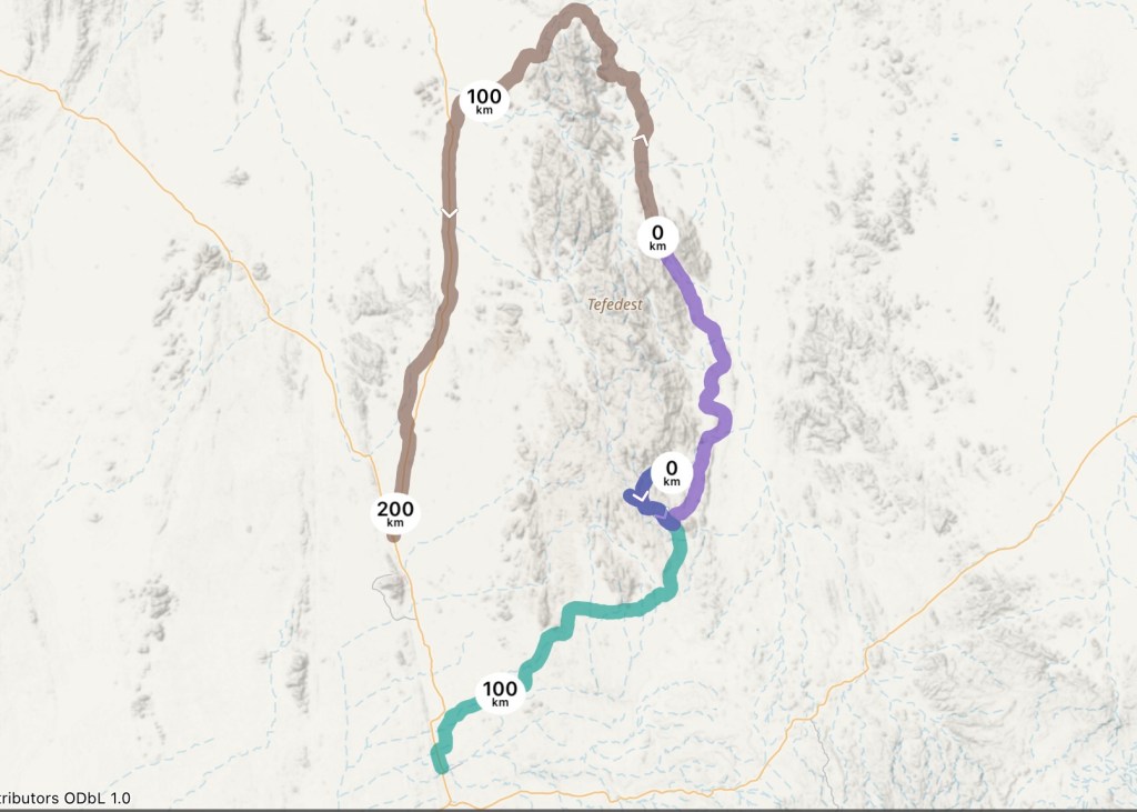
If you’re feeling brave, you can pick this long route up on the way south to Tamanrasset, though you’ll almost certainly need to pop into into In Amguel first for some fuel and supplies. This route was a highlight of my trip to the Algerian south in autumn 2023, and is a bit of a challenge because of the logistics involved. Be prepared for it being a relatively long and quiet route with minimal, if any, human contact.
Headed east from the main TSH north of In Amguel, the route is initially a series of fairly unremarkable sandy but easily manageable tracks in oueds for a few hours, until you reach the main piste that takes you to the oasis village of Mertoutek with its pleasant guelta. It’s a good place for a rest or lunchtime break but perhaps a little bit close to the village centre to camp for the night. There’s supposedly (so I was told) a shop here with some somewhat variable opening hours, but I was unable to find it.
Heading back out of the village, if you want to take on the challenge of a particularly sandy oued, there’s a great camp spot at Hassi Delhine, which is populated by Tuareg goatherds and their families, where you can also replenish water supplies for the route ahead from a pumped well. There may also be a route through to the main piste from here too, but at the time of writing I wasn’t able to find it.

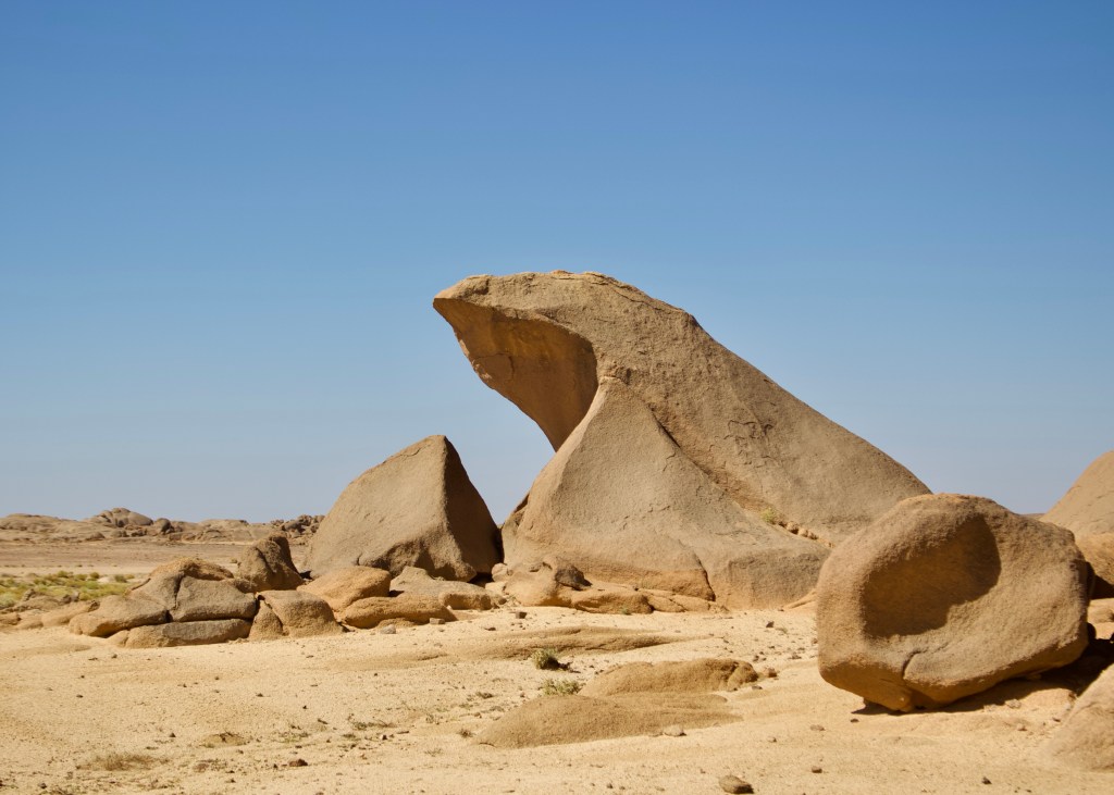
Doubling back on yourself back to the main north/south piste, you’ll find that this is heavily corrugated for long sections but because you’re following a oued there’s plenty of room for manoeuvre. Eventually the scenery of the Teffedest mountains to the west will dial-up, after the route has tracked east and then back west again,providing a few opportunities for unusual ‘rock spotting’ in the process. The tracks are a bit sandy in places but nothing a good bit of throttle and lowered tyre pressures can’t easily handle.
As you close in on the northernmost point of the Teffedest and Garet El Djenoun, the route leaves the main piste to tack closer to the edge of the mountains; there are some opportunities for further exploration here if you have the fuel and water supplies. As you round the northernmost point and start to head west, it turns into a good, fast flowing double track until you find yourself threading a route through the dunes and then in open terrain to find the main In Ekker – Amguid piste.
Don’t be fooled into thinking the last 90km on that piste will be a nice easy ride, just because it’s mapped as a ‘Route National’. It’s a sandy piste which requires a commitment to tackling it to get the best of it, but is a great blast back to the main TSH, once again across open territory in places as the piste disappears and you navigate via dead reckoning. In Amguel, petrol, food and supplies, lies some 60km beyond, back down the main TSH.
The old Djanet road | 144 km | ⅘
A quick blast down a fast piste followed by rockier ground over the old route to Djanet.

A good one to pick up after leaving Illizi, this route starts with a fun and straight forward 80 km blast east from the main road on a fast piste eastbound, offering some panoramic views, running parallel to the edge of the Fadnoun Plateau, which you have just descended from.
It’s when you turn south that things start to get really interesting, as the track becomes less well travelled. This is the second half of a Sahara Overland routes. You certainly get the sense of remoteness and that no-one has been here for a while. The territory soon becomes rocky and technical in places after crossing over a number of oueds, and whilst the landscape starts out flat, variations between undulations, rocky gullies and valleys soon emerge. The track is also sandy in places, but be careful about going great guns – there are big rocks too, leaving you with the unpalatable choice of getting your speed up and risking hitting something solid or slowing it down to avoid those rocks and paddling through.
In the second half of the southern part, the track gradually becomes more well-worn, as it threads its way through rock formations and what are marked on the map as rock art sites. There’s a sandy guelta that you’ll need to cross towards the end, but that’s not quite it yet – there’s another rocky pass to climb and then a final descent on some faster sandy tracks, as the view opens out ahead of you, and you’re reunited with the black top beyond.
Apparently, the second half of this route used to be the main route to Djanet before the Second World War, before the current main paved route was subsequently built – something which is perhaps mind boggling in itself.
After you’ve rejoined the main road, the ride onwards to Bourdj El Houas and then Djanet on the black top, with its panoramic views of the northern part of Tassili N’Ajjer National Park, beyond is nothing short of spectacular and, by this stage, well earned.
Djanet to Tamanrasset | 723 km | ⅕
The classic east-west route joining Tassili and the Ahaggar.

Perhaps once the most iconic route of the Algerian Sahara, but today less of a challenge than it once was, don’t be too intimidated by the distance of this route – the vast majority of this route is now paved, with the exception the sandy 70 km excursion into the guelta of Essildene Canyon just before Bourdj El Houas and a 120 km section of the original piste of the main route, 147 km west from the latter, where you can pickup fuel and supplies for the route ahead.

On the drive west immediately from Djanet, there are plenty of opportunities to jump off the tarmac onto sandy tracks to explore and soak up the spectacular scenery before returning to the main drag. After Bourdj El Houas, the landscape starts to flatten out and, with the exception of the army Fort Serenout just before the tarmac ends, there’s no settlements until you reach Idles. There will, however, be some traffic, so you won’t be totally alone. Travelling east to west, the piste is sandy in places, but it’s open terrain with few obstacles, so it’s best to get stuck in, get up on the foot pegs and open up the throttle.
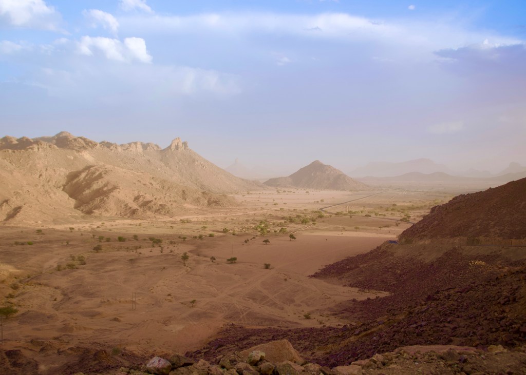
The later, dead-flat sections of the unpaved piste section provides an other worldly feel with some great views across to the emerging Ahagger Mountains as you head west and Djebel Telertheba comes into view. Soon after, the roadworks begin and then you return to the black top, and onto Idles with its (infamously variable) supply of petrol and Tamanrasset beyond.
If you’re struggling for fuel at this point, and there is none in Idles, you have two options – to continue on to In Amguel for 105 km, which is en route to Tamanrasset, or head south to Tazrouk, which is some 75 km away, from which you can continue on to Tamanrasset via an alternative route. In the case of In Amguel, the next petrol station is some 80 km further down the road to Tam.
North-eastern Ahaggar loop | 179 km | ⅖
Exploring some of the less-well known views of the north-eastern Ahaggar.

Striking out east from Idles, this route initially takes you back onto the main Djanet – Tamanrasset route for a short hop, before cutting south-east into the north-eastern Ahaggar. Whilst the tracks appear well-used by local shepherds (there are no villages or settlements en route), it’s nonetheless a quiet route but with a fun mix of ground to cover. It feels remote in places, but the reality is that you’re never more than 40 km or so from the main road.
Following the Tadje Oued off the main road, the route is a fairly sandy one for its first part, before the ground gradually firms up and flattens out as the track winds its way deeper into the Aghechchoun range, through a valley which then opens out into a plateau with volcanic plugs and other rock formations. Many of the peaks here, which are still impressive in their in right, have names known only to the locals – they don’t appear on more modern maps.

The route continues to open out until you reach a dried up lake bed, and then tack further into the mountains with a panoramic view of them around, for a lunch or camp stop. From there, it’s a pretty straightforward route back on itself for a fast run back across firm ground back to the main road and Idles, across the flat Ahaggar hinterland, taking in more dried up lake and river beds, with strange outcrops of vegetation, which in wetter times would be islands, but now spookily sitting proud above the ground.
Tazrouk old route & rocks | 295km | ⅗
A bit of a blast from the past on the route up to Tazrouk, before a scenic route past some remarkable rock formations.

The main road to Tazrouk from Tamanrasset is beautifully paved nowadays, and allows you to see some of largest gatherings of strange rocks in the Ahagger, but the old piste shadows it from the surrounding oueds and mountains, giving you a true sense of just how inaccessible this part of the world must have once been.
This track follows that route, initially flitting between the new road and sections of the old piste which run down various oueds, until it reaches a longer 35 km section which moves away from the new road, into the mountains to the east. It’s a bit of a rollercoaster of a ride, with some tricky deep sand in the oueds and the track is all but washed away in places, but the views are well worth the effort. On rejoining the main road, it’s an easy run all the way to Tazrouk, where you can pick up supplies and fuel. There’s also a few cafes and places to eat, and a cheap and simple ‘motel’, which the police will find the owner of for you, should you want to spend the night.
Continuing west out of Tazrouk, there are tracks off of the main route worth exploring in the mountains to the north if you have time, with a long route theoretically possible that joins up with north-eastern Ahaggar loop set out elsewhere in this guide.
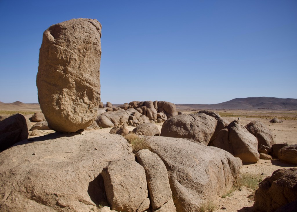
Otherwise, there is a decent-length loop that leaves the tarmac to head south into the centre of the Ahagger. This excursion is around 80 km is well worth the effort for the dramatic dark rocks and stones that characterise the area and a remarkable series of large free standing stones of all sorts of shapes and sizes which look like they’ve just been dropped in to the otherwise desolate landscape from above. The riding is fun, flowing and fast, with the potential for camping at the various collections of stones en route.
The route tracks back to the main route and Idles beyond, ending in quiet camp spot just off the tarmac which is well hidden from view.
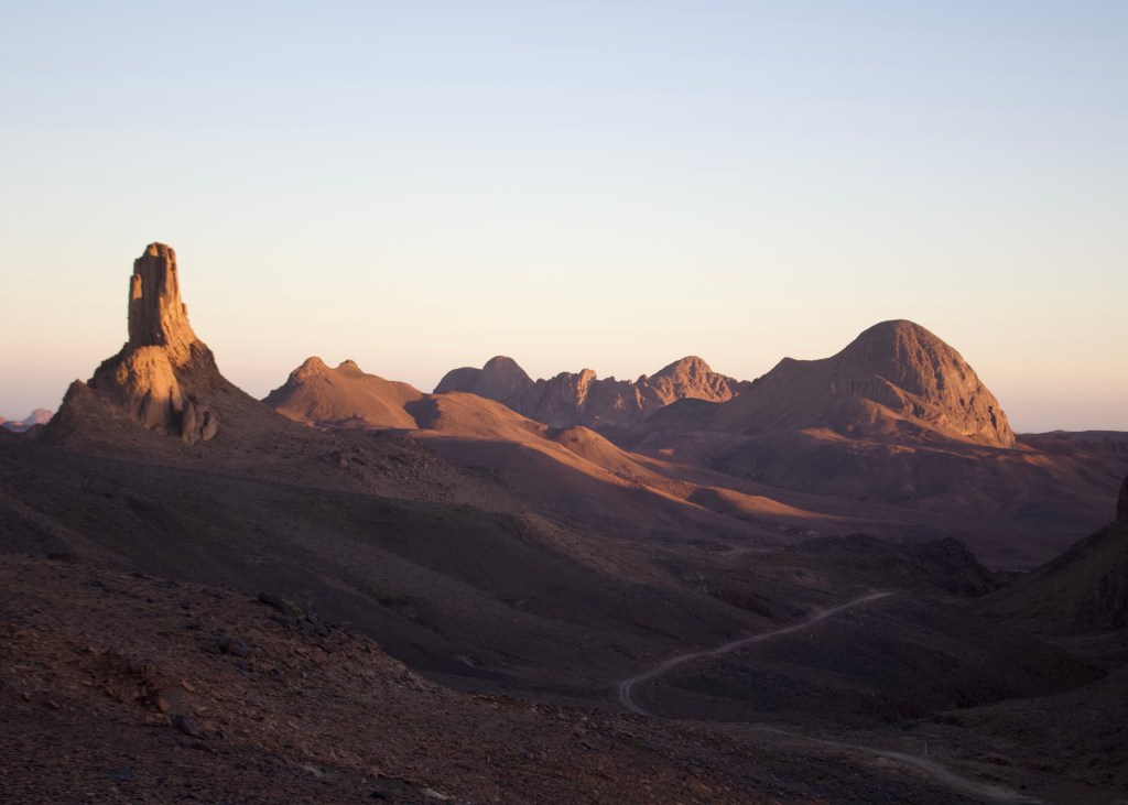
Three routes to/from Assekrem | 78 km, 80 km & 87km | ⅕, ⅘ & ⅘
Ascending & descending from Assekrem, the jewel of the Ahaggar crown.
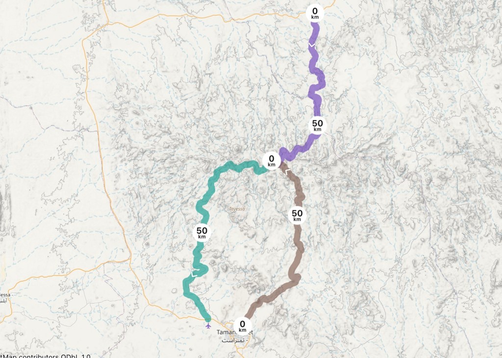
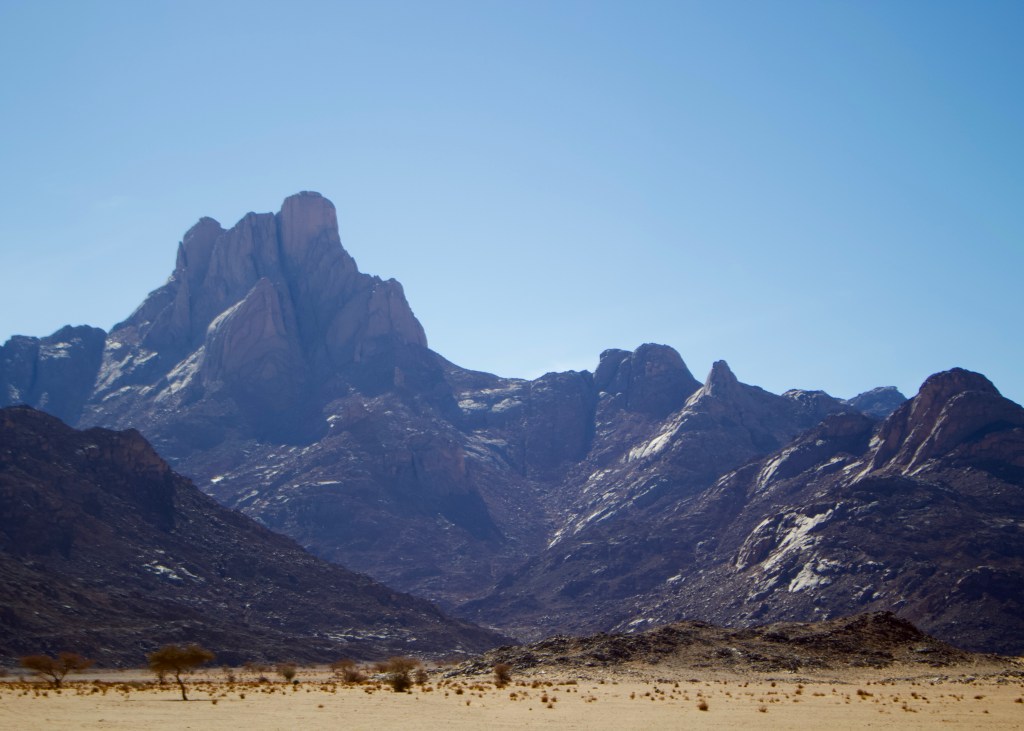
There are three routes up and down to the Assekrem Pass, site of the most stunning views of central Ahaggar with its lunar-like landscape and home to the famous hermitage of the French monk Charles de Foucauld. Whichever way you go, you’re in for a treat, particularly with the views from the top of the mountain at dawn and dusk. There’s simple accommodation or camping on site too, at the refuge at the foot of the mountain, to ensure you are able to enjoy the view at both ends of the day.
The ascent from Tamanrasset | 78km | ⅕


The most frequently used and easiest route to and from Assekrem, this is now paved for the first half of the route from Tamanrasset, with the second half being a good quality, easy, fast piste to the top, winding its way past Tinde, Ahounahamt and Akeraker peaks. A high point has to be rounding the final corners as you approach Tidjmaine, as the full panorama peaks around Assekrem gradually unfolds. The route is more impressive riding from the south to north than the other way round.
The ascent from Hirafok | 80km | ⅘


This was another highlight of my autumn 2023 trip, and like all great routes is perhaps more on the challenging side of things. Starting out from the northern village of Hirafok on the main Idles/In Amguel road, it runs along a fast but slightly sandy oued before quickly starting to climb. Once up high, it’s a rocky, undulating route that’s deteriorated badly in places; the going is quite technical at times and you’ll have to pick your way through on the odd occasion. In particular, the final ascent to the penultimate pass, Col de Tihintaghtimt, is a dramatic ending but is steep with large, loose rocks.
It is, however, worth it. Aside from the grand views from the main piste, there are two stunning, unnamed gueltas marked on this track as spurs of the main route, both in the first third of the route, which would make a great camp or lunch stop. The first is beautiful for its weirdly shaped rocks, surrounding rock faces, red flowers and free-standing rocks, accessible by a short single-track section. The second, not too long after, has as fascinating collection of different types of rock of varying textures, shapes and patterns that you’ll see anywhere in this part of the world.
A straightforward, non-stop rider on a well-equipped bike could rattle through this route in a couple of hours with maybe double that time needed for a 4×4. However, it’s worth taking your time instead. It’s also worth attempting to time your arrival at the end of the route, before the the junction which leads up to Assekrem, to coincide with sunset; it’s almost as stunning as the view from up at Assekrem with the added experience of actually being in the landscape, not just looking down on it from above,
The western descent to Tamanrasset | 87 km | ⅘


Not one for the faint hearted, this route, whereby you literally turn right out of the gate of the refuge at Assekrem, is technically demanding from the word go, with a steep descent on a washed out and degraded track. That continues to be a feature for much of this route, as you wind your way through the landscape that you spent the evening before marvelling at, at sunset.
Once again, it is worth it, particularly given the surroundings and the panorama as it unfolds around you, which include the striking Ilamane. There are also potential routes off to Mount Tahat, the highest peak in the Ahagger. The final 40 km of the route, which leads back down to the Trans Saharan Highway near Tamanrasset Airport, are now paved, with the black top continuing to progress further into the mountains at the time of writing.
Want to follow for more guides like this? Then just follow via Facebook. Please note that I am no longer responding to individual emails and messages related to this post due to other commitments.
